

Stage one of the Via Serrana between La Linea de la Concepción and San Martin del Tesorillo is the longest of the entire route due to the lack of accommodation between these two towns.
However, as I live in the area my plan was to walk between La Linea and San Roque on the first day and then return to San Roque on the second to walk the rest of the distance to Tesorillo.
If you want to do similar there are a number of hotels in La Linea where you could base yourself and take one of the regular buses to and from San Roque.
Disclaimer: This post may contain affiliate links which means if you click a link and purchase something that I have recommended I may receive a commission. While clicking these links won’t cost you any money, it will help to keep this site going. Thank you for your support, I really appreciate it.
Stage One – Part One. La Linea de la Concepción to San Roque
Date: Saturday 13 April 2024
Start Point: Parroquia Santiago Apóstol, La Linea de la Concepción
End Point: Alameda de Alfonso XI, San Roque
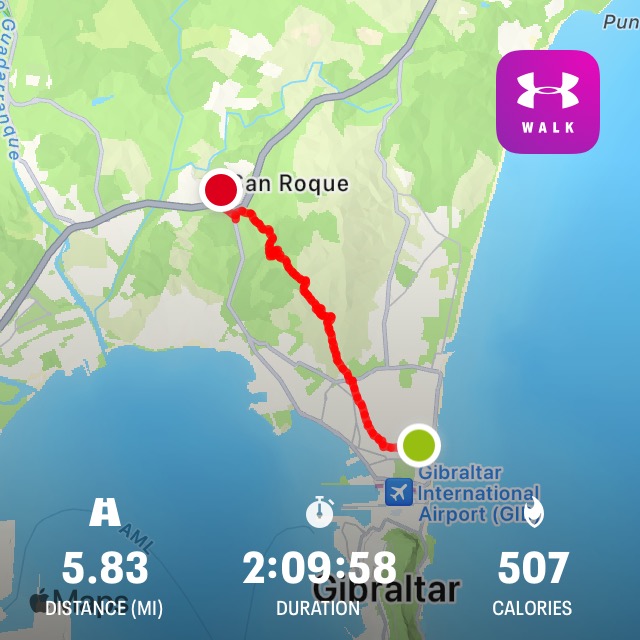
Distance Walked: 5.83 miles (9.4 kms)
Time Taken: 2 hours 9 minutes (including several missed turns)
Weather: Sunny
Part one of stage one of the Via Serrana started at the church of Santiago Apóstol in La Linea de la Concepción at 65 Calle Jardines. There’s the first of the Via Serrana tiles on the wall of the church along with the 0 km tile. Don’t forget to take the obligatory photo before you set off!

The church has very limited opening hours (7pm to 7.45pm Tuesday to Saturday, 11am to 11.45am on Sundays, closed Mondays) so, if you have a credencial that you’re hoping to have stamped along the way you’ll need to either time your visit for when the church is open or try the Tourist Information Office on Avenida Principe de Asturias. However, this also has limited hours (9.30am to 3pm Monday to Friday).
You can read more Camino lingo you need to know before you go here.
As it was, I wasn’t bothered on this occasion about collecting stamps along the way so after a photo of the tiles I was on my way.
For the first mile or so I walked through the streets of La Linea. It was a Saturday morning and already quite lively with locals having breakfast or shopping in some of the small fruit and veg shops in this part of town.
La Linea isn’t the prettiest town and doesn’t exactly have a glowing reputation but the walk through the streets, some of which look a bit run down, is minimal and is pretty well signposted with yellow arrows painted on lamp posts and traffic signs, along with more of the Via Serrana tiles on various shop fronts and walls.
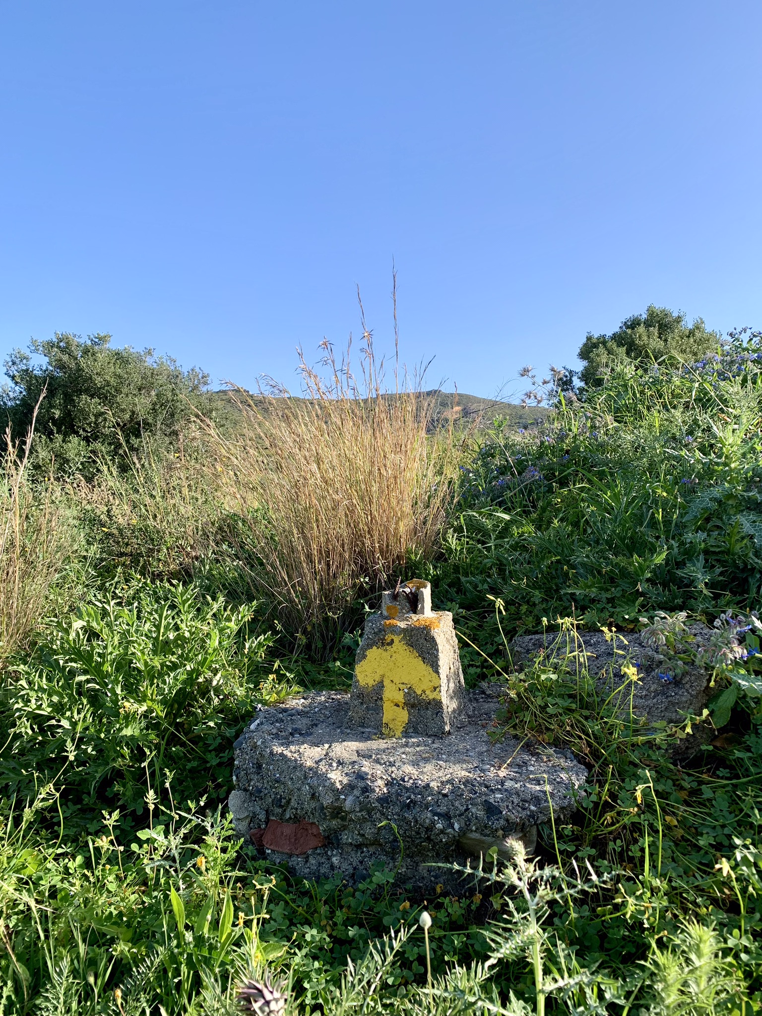
Reaching a main road there’s a large sign with a pilgrim pointing left – and, shortly after, the first way marker, so familiar to me from when I walked the Camino Portugués.

I was now out of La Linea and walking along a dirt path which eventually took me to the hills of the Sierra Carbonera.
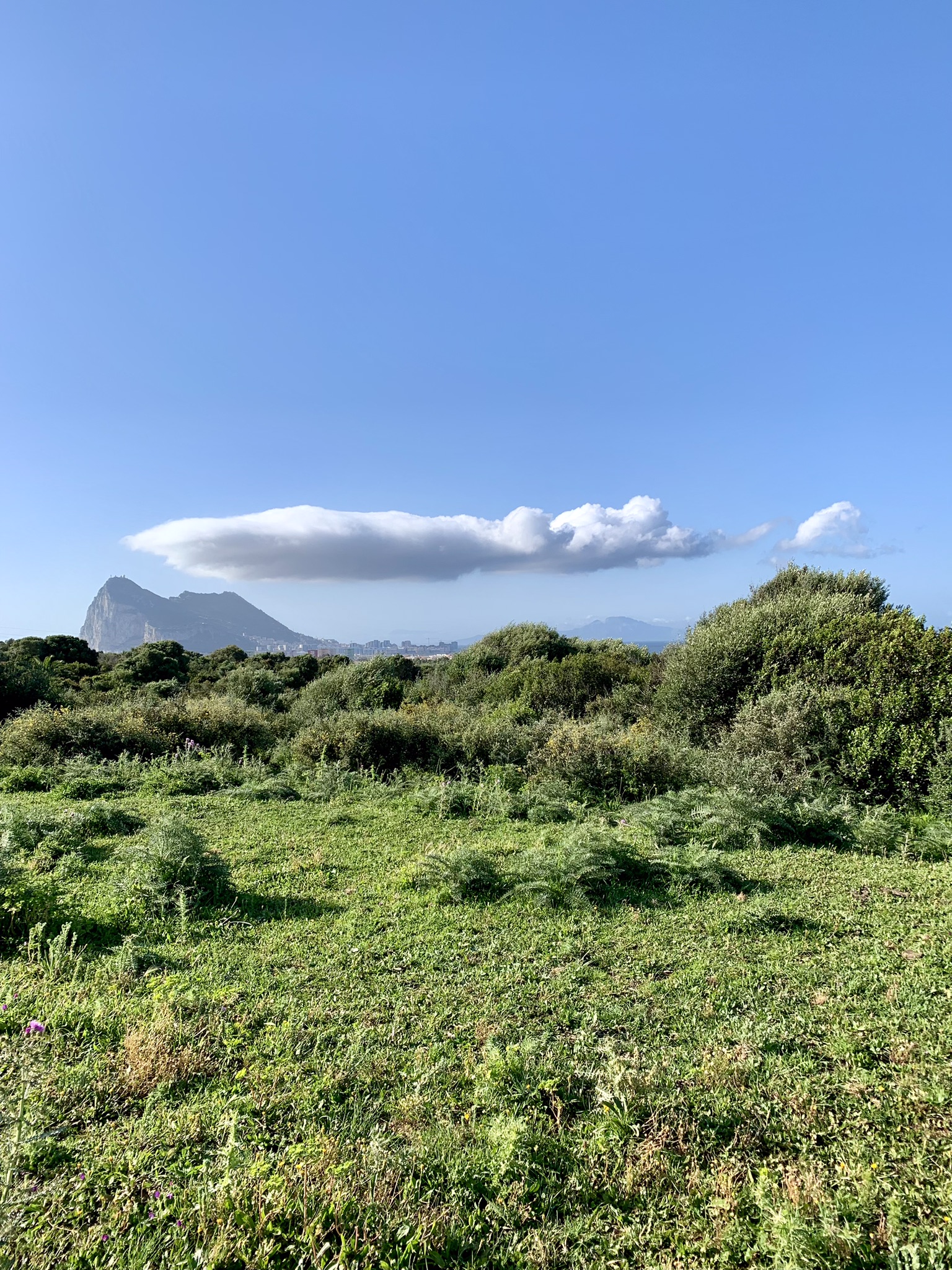
I passed through a gate with a warning sign about grazing cattle. There may not be any cattle when you walk but, if there are, just give them some space, and you’ll be okay. I see them regularly on the canal path close to my home in Castellar de la Frontera and must admit that the first time I came across some on the narrow path I was a bit worried due to their huge horns, but I’ve never had any issues with them.
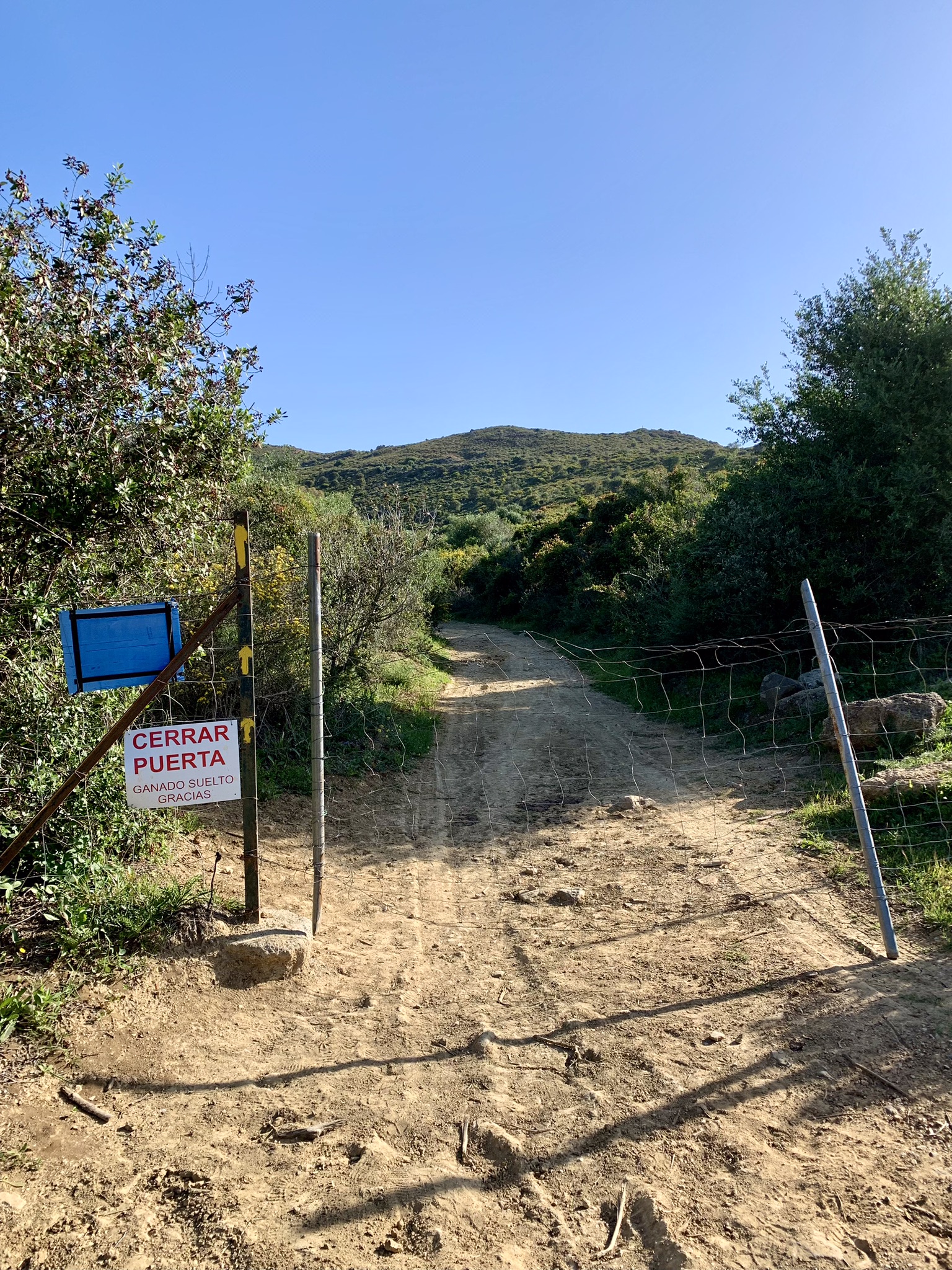
Don’t forget to turn around at various points on this part of the walk as the views of Gibraltar are stunning. On a clear day like I had you can also see Jebel Musa in Morocco.
I was aware that the Via Serrana is a relatively unknown Camino so I was unsure just how frequently I’d come across yellow arrows to keep me on the right path so, to be on the safe side, I was using the Wikiloc map which had been prepared by the official Asociación Gaditana Jacobea.
At one point, as I marched on along the main path through the hills, Wikiloc let me know that I’d wandered off the trail. I don’t know how that happened as there only seemed to be one path and I hadn’t spotted any yellow arrows letting me know of an alternative route. However, back I went and followed the ‘official’ trail where I ended up on the narrowest of paths, overgrown and hardly visible, with bushes growing wild each side.
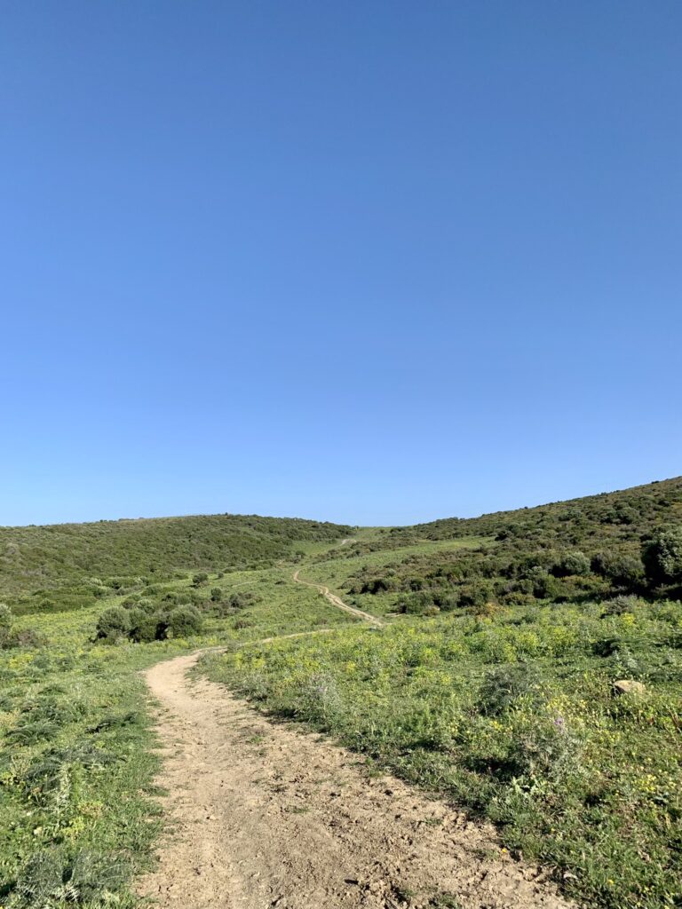
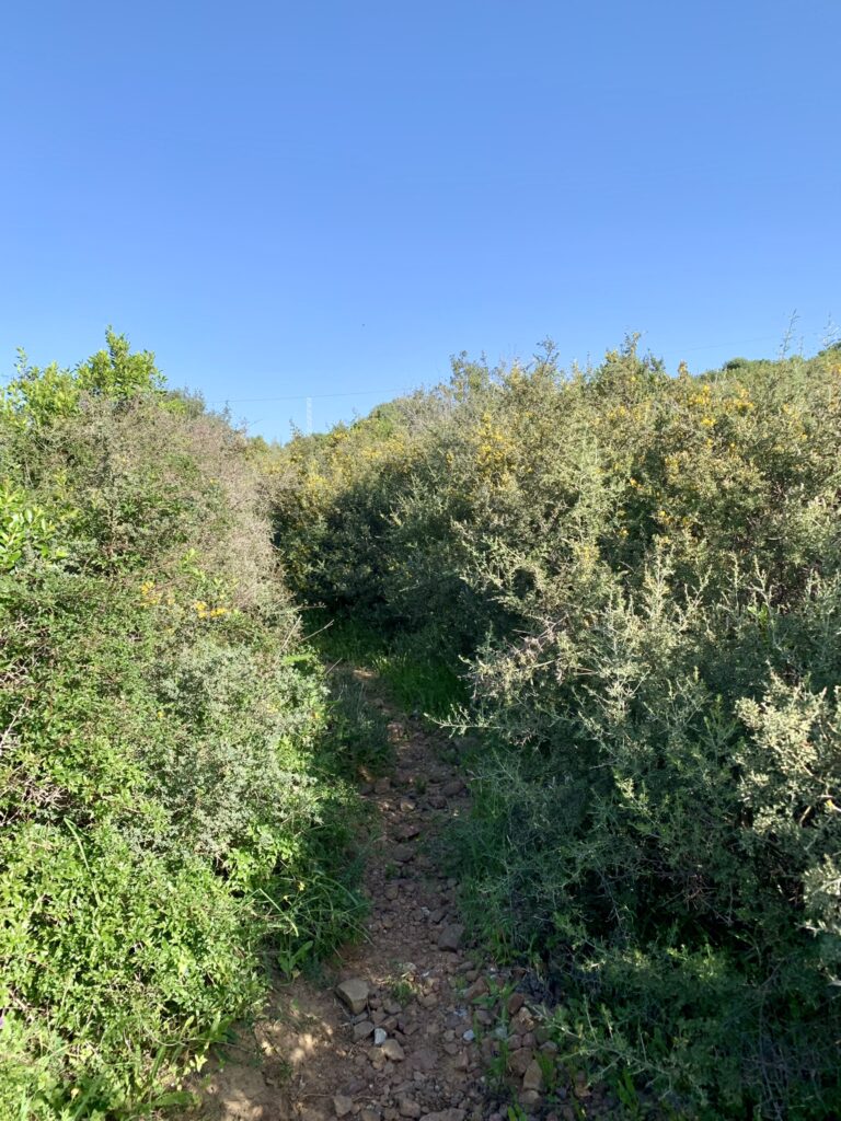
My advice – stay on the path in the first picture otherwise you’ll end up on the path in the second!!
Eventually, after battling my way through gorse, thistles and other shrubbery I reached the dirt path that I’d originally been walking on! I should have trusted my instincts and just carried on walking!
As it turned out, just a short distance later, Wikiloc led me on another wild goose chase. I saw a path straight ahead but the map told me to veer left where I ended up, again, on an overgrown path. Just as I was about to turn back I heard voices and, looking up from my position surrounded by bushes, I saw a woman walking along a path to my right. I battled through the long grass until I reached the path where I’d seen her and realised that I could, and should, have just carried on up the path ahead.
At this point there appeared to be two paths – the woman was walking ahead on the main one but Wikiloc was telling me to take a path to the left. Also ahead were two men (it must have been their voices I’d heard) who were poring over their phones, presumably trying to figure out which way they should be going. I decided to trust Wikiloc (not sure why as it hadn’t fared me all that well) and took the path to the left. The two men took a different path to the right – perhaps they weren’t walking to San Roque after all.
As it happens, the path I was on joined with the path that I’d seen the woman take and I eventually caught up with her on the descent towards San Roque. We had a chat as we walked and then I left her behind as I started the climb towards San Roque. At the top of the hill the path meets the A7 motorway with San Roque tantalisingly close but, to reach it safely, there are several underpasses before crossing a bridge to the entrance of the town.
It’s then just a short walk up Calle Batallón de Cazadores de Tarifa as far as Alameda de Alfonso XI where I was finishing for the day.
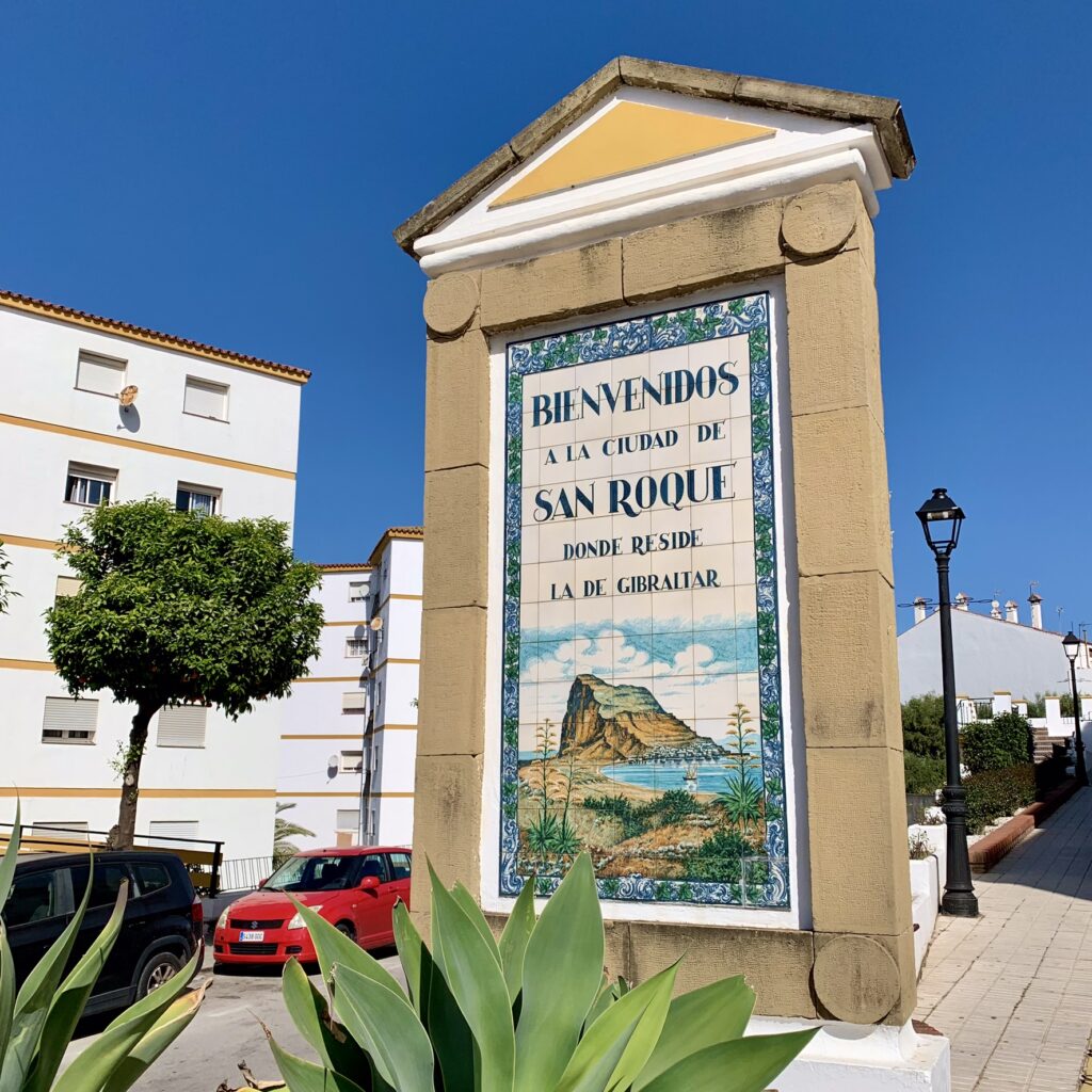
If you’re going to continue to San Martin del Tesorillo you should stop for refreshments here as there are no other facilities on the way.
Cerveceria Cruz Blanca is always popular and serves a good selection of tapas. If you’re early you can also treat yourself to some churros from Churreria Alameda at the corner of the square and sit in the sun to enjoy them.
If you plan to finish in San Roque there are regular buses back to La Linea which leave from the bus stop at the opposite end of the square.
Stage One – Part Two. San Roque to San Martin del Tesorillo
Date: Sunday 14 April 2024
Start Point: Alameda de Alfonso XI, San Roque
End Point: Parroquia de San Martin de Tours, San Martin del Tesorillo
Distance Walked: 12.55 miles (20 kms)
Time Taken: 4 hours 23 minutes
Weather: Sunny
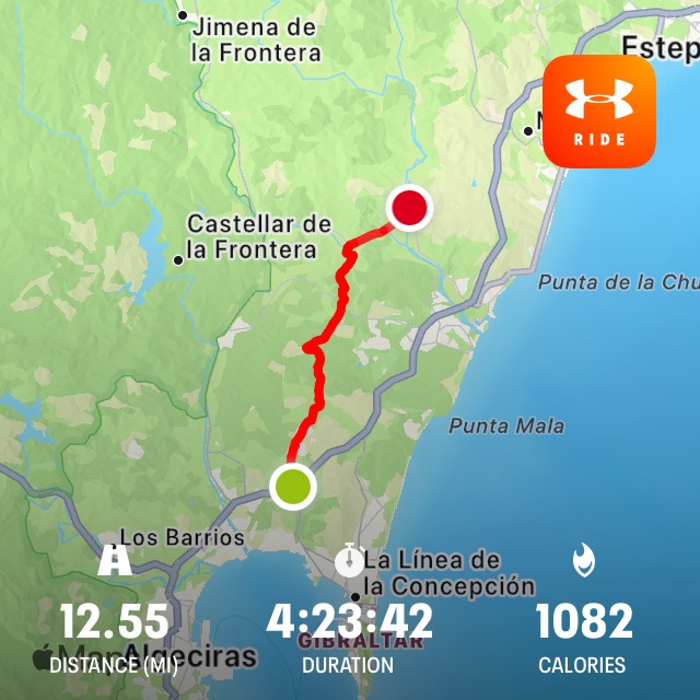
On Sunday morning I was back in San Roque ready to walk the remainder of stage one of the Via Serrana to San Martin del Tesorillo.
Heading up Calle San Felipe (which had road works going on) I reached Plaza de la Iglesia and the church of Santa Maria la Coronada.
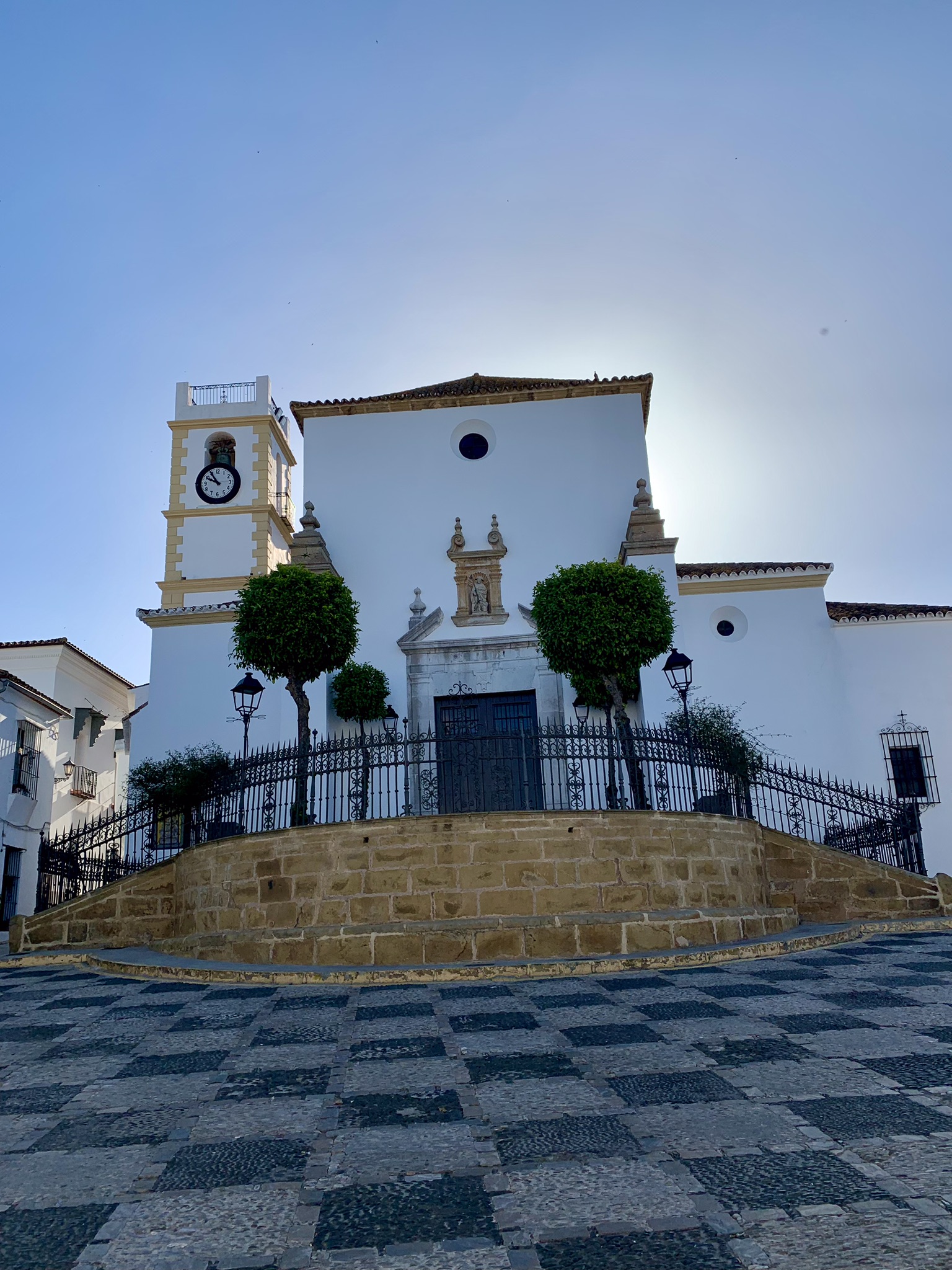
Taking a left turn here there’s a small Tourist Office on the left where you can get a stamp for your credencial if it’s open. (Opening hours are 8am to 3pm Monday to Friday).
The path out of San Roque is downhill through some pretty streets, typical of the Andalucian ‘pueblos blancos’ (white villages) with their wrought iron railings and, getting close to the bottom of Calle de la Cruz, the smell of churros was wafting tantalisingly up the hill. If I hadn’t already eaten breakfast before leaving home I’d have been very tempted to pop into El Bar de Alex for some churros con chocolate to set me up for the walk ahead.
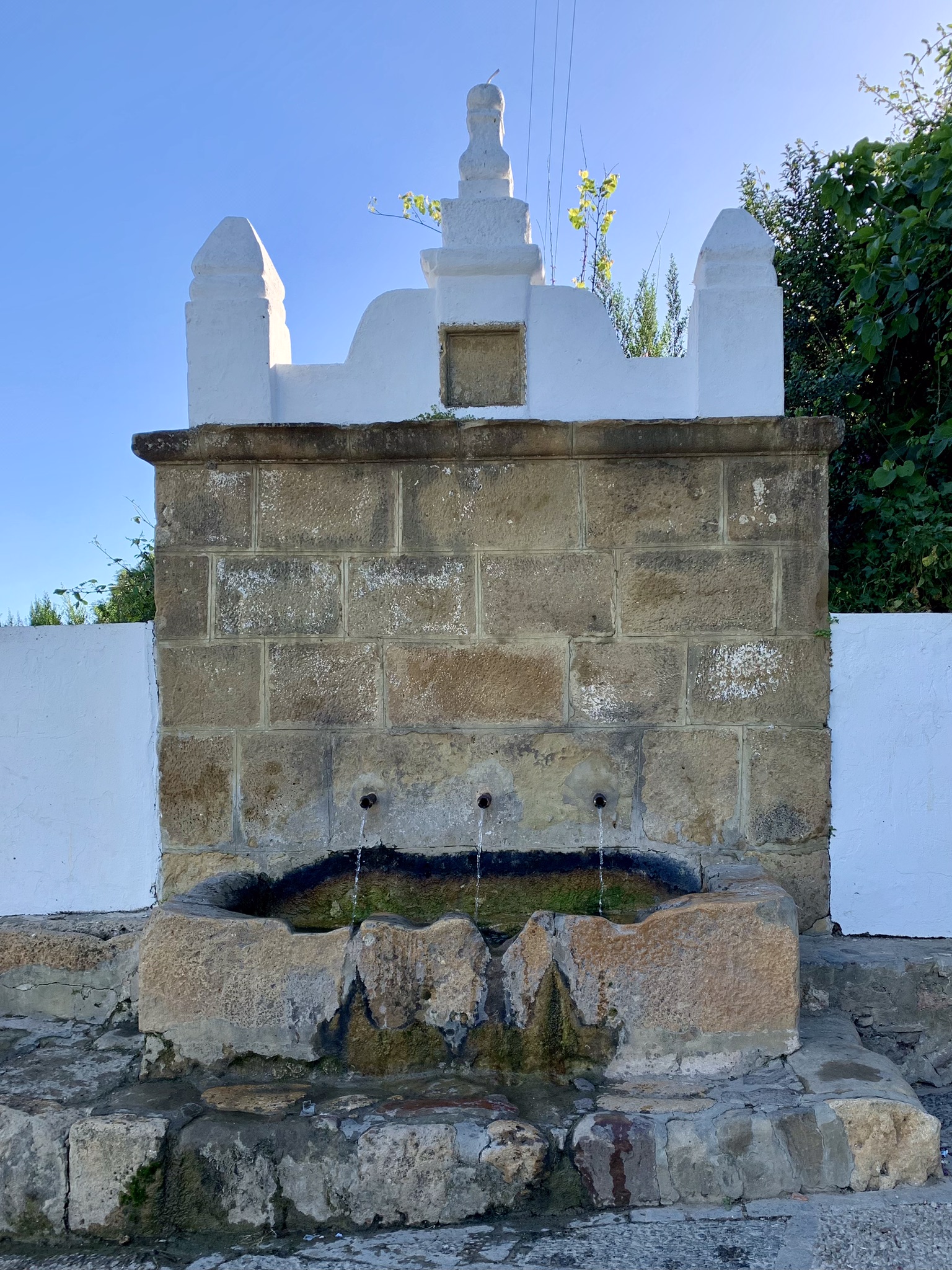
Crossing the road here past Mercadona (handy for stocking up on snacks and open 9am to 9.30pm Monday to Saturday) there were enough yellow arrows to follow, and I eventually reached the Fuente Maria España an 18th century drinking fountain still in use by the locals today.
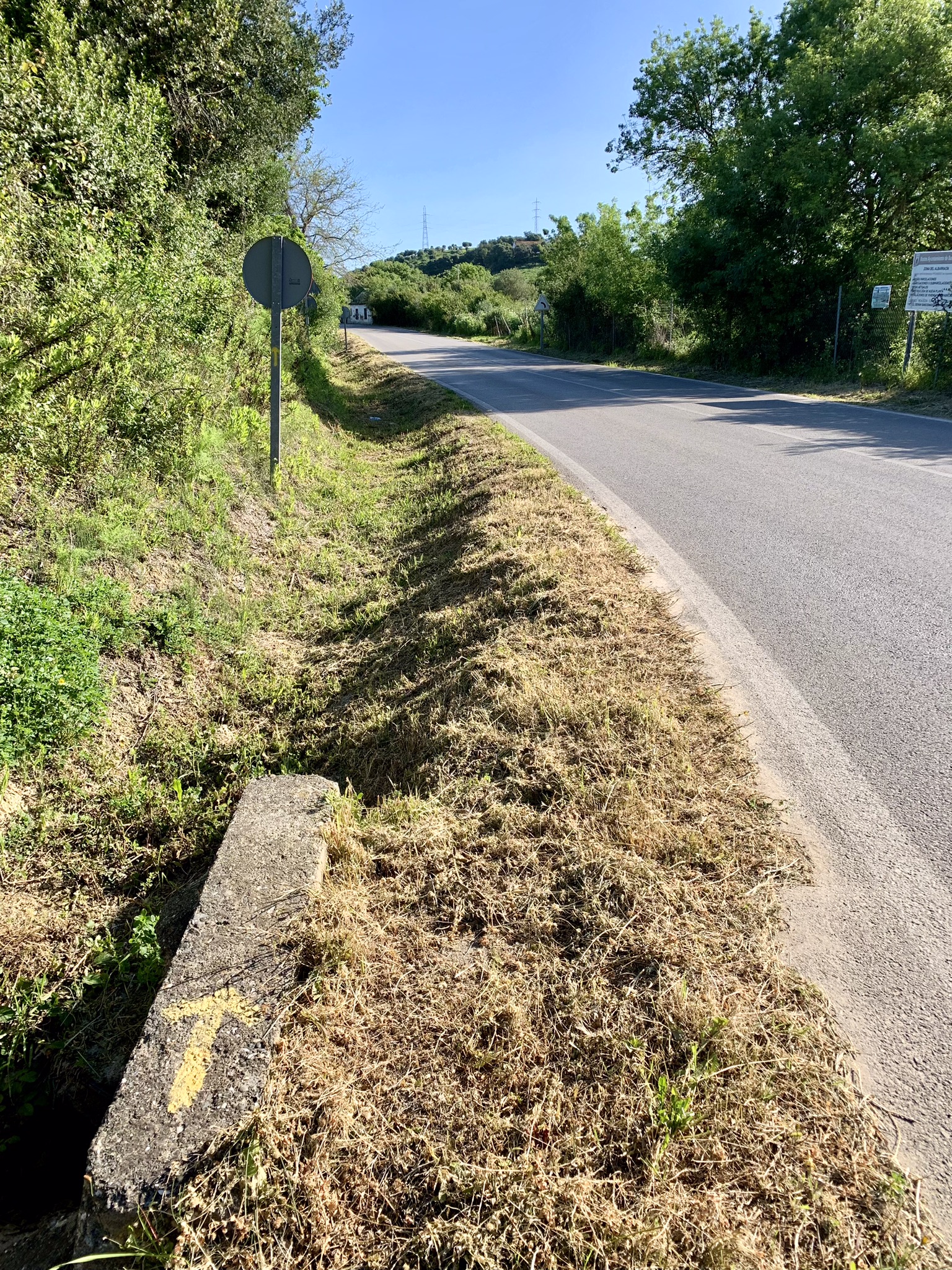
Crossing to the cycle path I soon reached a main road where the path continues for a few miles. Thankfully there wasn’t much traffic for a Sunday morning so it was pretty safe.
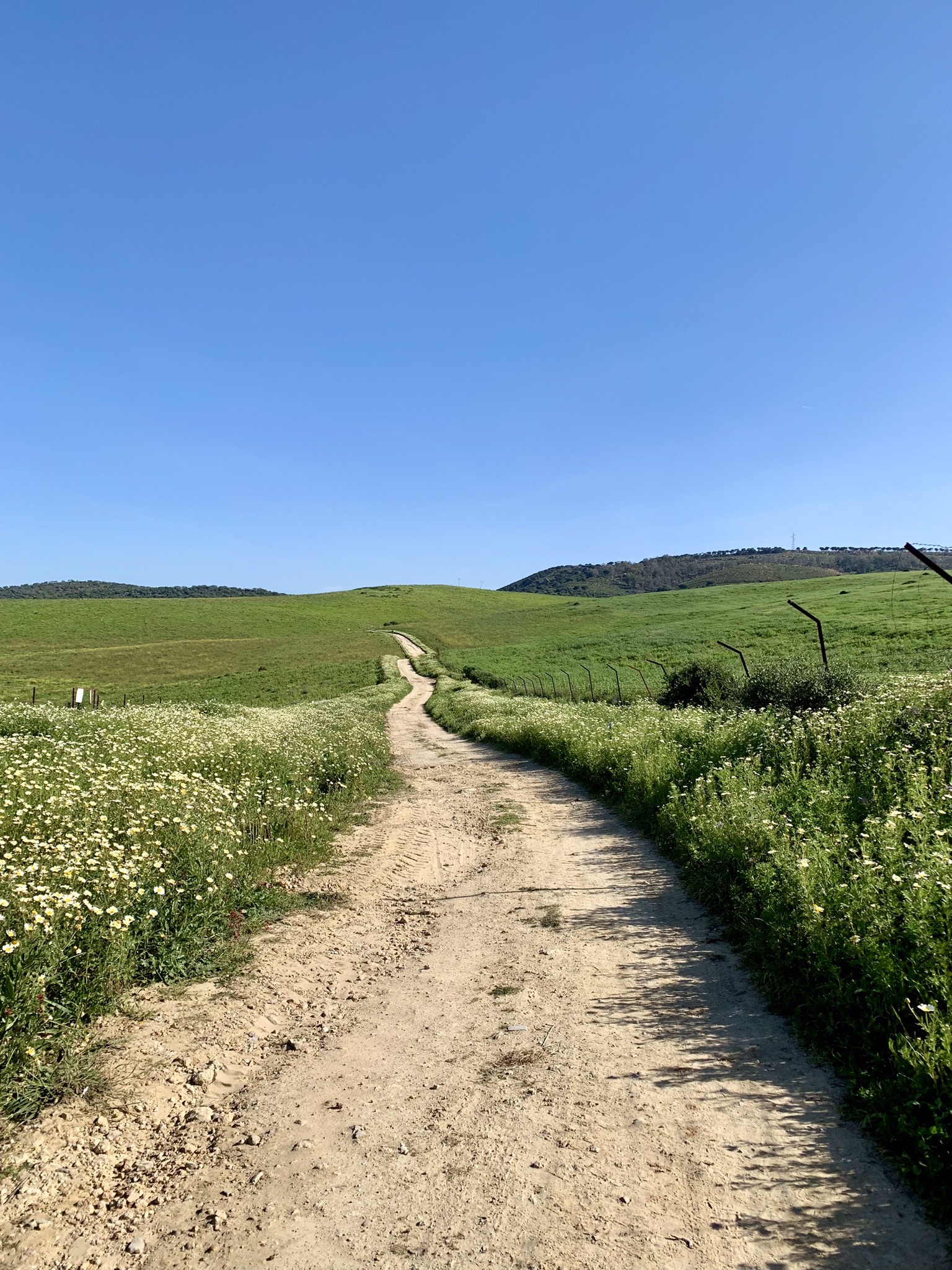
Finally the road ended and I was on a dirt path walking through fields of grain. This was what I’d been looking forward to and was reminiscent of days on the Camino Portugués, walking on dusty paths through the Portuguese countryside.
As the path started to go downhill I could see a small lagoon in front of me and a man walking his dog – the only person on foot I would see the entire day. I think it’s safe to say that this is definitely a road less travelled.
Passing the lagoon the road started to ascend again eventually reaching a gate to Monte la Alcaidesa, with access for walkers to the right. The road from this point is paved as far as the Monte la Alcaidesa Environmental Education Complex.
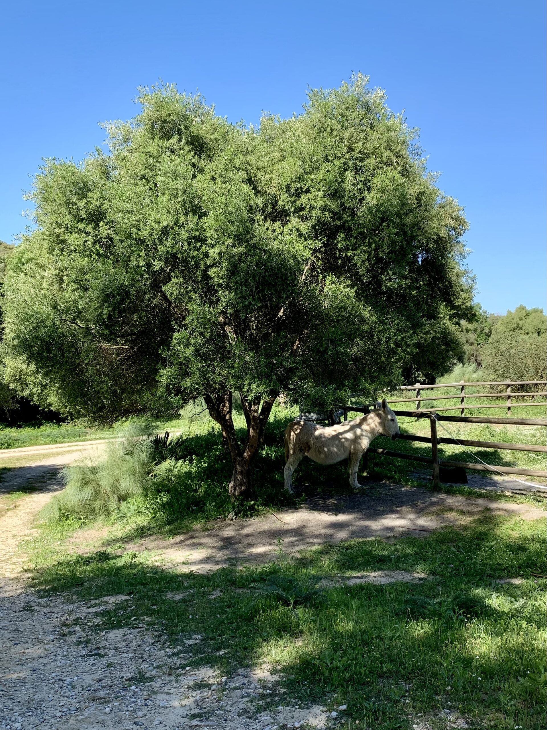
Passing a large tree with a donkey resting in the shade underneath there’s a wire gate which leads to a pine forest. This was the first shaded part of the day and was so welcome as the temperature was already at 22c.
The path was fairly straightforward through the forest until, you guessed it, Wikiloc told me I’d wandered off the trail. I didn’t see how I could have as there only seemed to be one track but, rather than try and get back on the trail, I veered to the left and walked to the paved road.
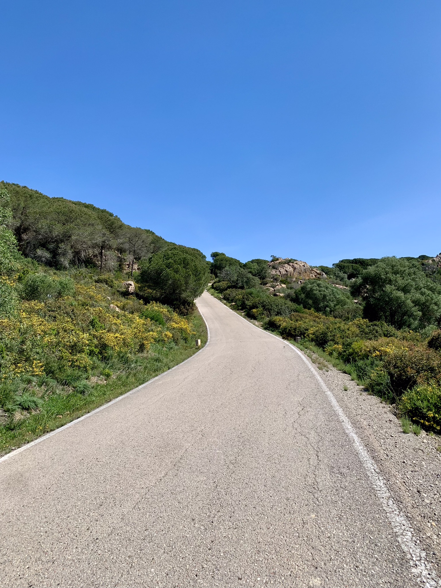
I’d walked this road many times when I lived in Sotogrande without realising that it formed part of the Via Serrana. This road climbs steadily upwards and, eventually, Wikiloc told me I was back on track so it appears that I should have continued in the forest and I would have reached the paved road slightly later than I did. There are forested areas and rocky outcrops on both sides of the road and, looking to the right, there was a glimpse of the Mediterranean Sea, glistening in the hot sun.
The paved road continued as far as the main road which runs between Sotogrande and Castellar de la Frontera where, directly across the road, there’s a metal gate with a yellow sign painted on the gate post. The gate was closed but thankfully only tied shut with some rope so I was able to untie it to pass through. I drive this road regularly and always keep an eye on the gate as I was concerned that if it was locked rather than just tied shut I’d have had to resort to climbing over which, with my short legs, might have been quite tricky!
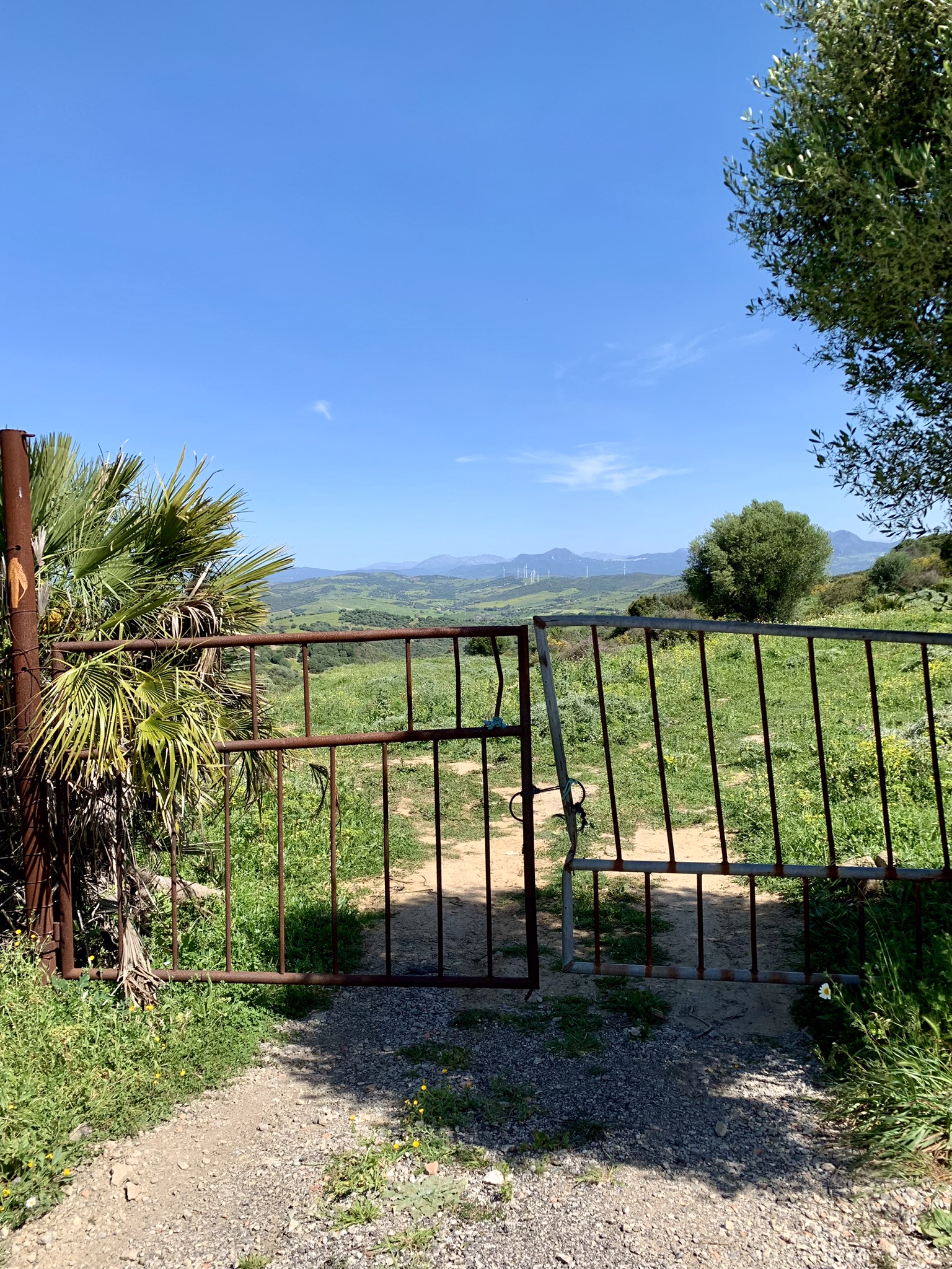
The path was now downhill. In March there had been a lot of rain in Andalucia which meant that the path presumably turned to mud. This has now dried out and baked so it’s hard underfoot and it would be easy to go over on an ankle. I was regretting not bringing my hiking poles at this point.
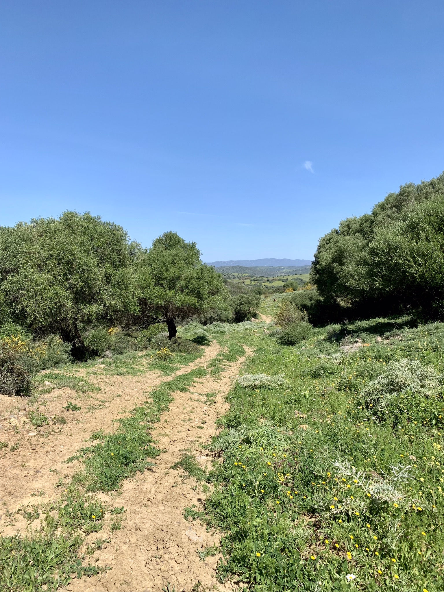
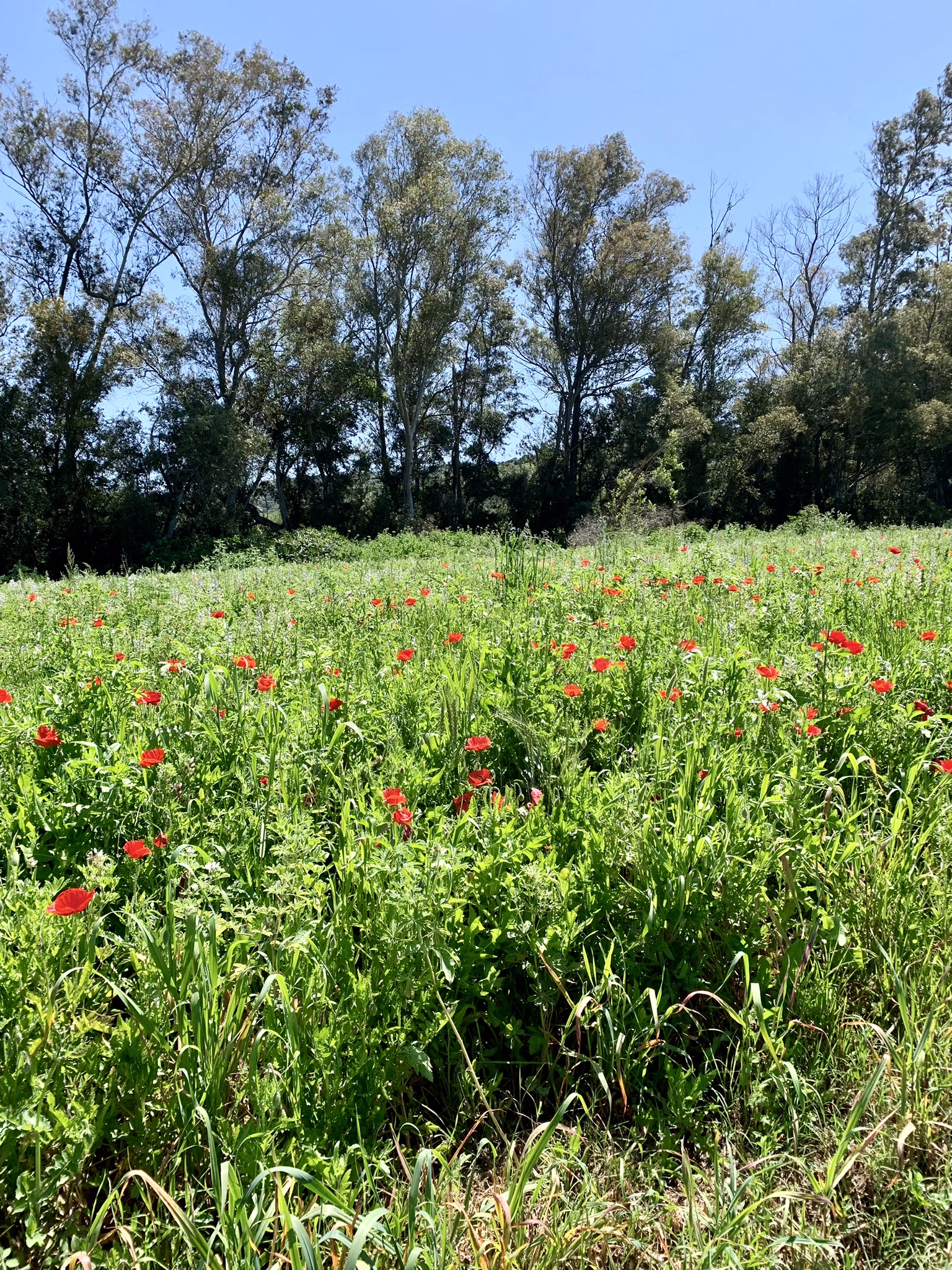
Reaching another gate the path now levelled out and was a lovely walk through farmland and fields of poppies and other spring flowers as far as the ford of the Rio Horzgarganta. Time to get my shoes and socks off and wade through. Thankfully it wasn’t too deep (it barely reached my ankles) but it was quite slippery underfoot so I crossed it looking not unlike a baby taking its first steps! Thankfully I was already across when two people on horseback came along in the opposite direction so they weren’t witness to my crossing!
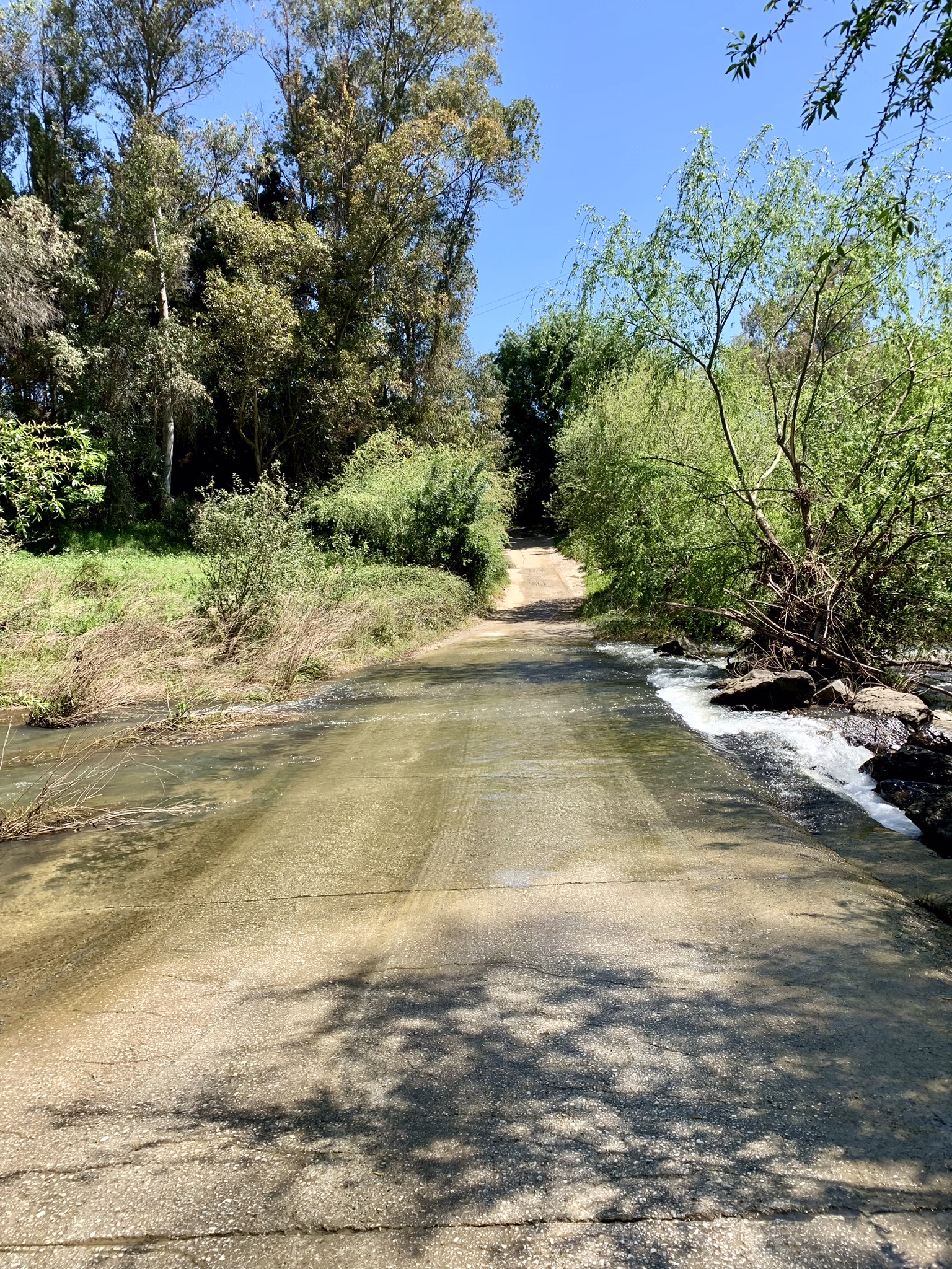
Feet dried and shoes back on, the path leads to a main road and, turning right, I was on the homeward stretch to San Martin del Tesorillo.
Unfortunately, there’s no shoulder for walking on this road so I found myself stepping into the ditch whenever cars approached. Thankfully most drivers were considerate and gave me enough space.
At Perez Zara Agricola on the left (you can’t miss it as it’s a large fruit and veg wholesaler’s warehouse) I crossed to the opposite side of the road where there’s a path behind the safety barriers making the last part of the journey into San Martin a lot safer!
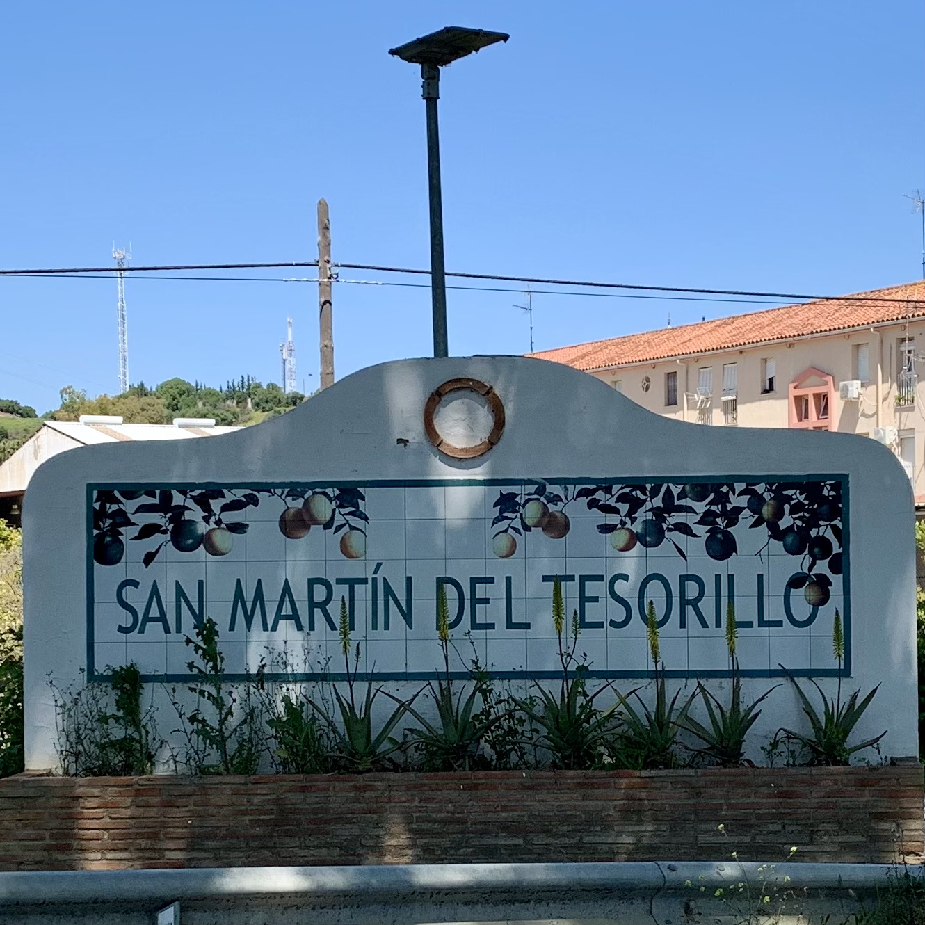
I ended the day at the Parroquia de San Martin de Tours.
The town was very lively when I arrived with groups of friends enjoying drinks in the sun. As I only live a short drive from here I was heading home but there are some accommodation options in the town and neighbouring El Secadero.
Highlights of Stage One of the Via Serrana
The views from day one of the Rock of Gibraltar with Jebel Musa in the distance were pretty spectacular and on day two I especially loved walking past fields of spring flowers.
Lowlights of Stage One of the Via Serrana
The second part of stage one has quite a bit of road walking which, particularly on the way into San Martin del Tesorillo was a bit hairy at times.
Wandering off the trail a few times too wasn’t ideal but at least I managed to rectify it quickly and didn’t end up walking miles in the wrong direction! If you’ve walked other Caminos where there are a) more walkers and b) plenty of yellow arrows it might be worth downloading a map just to be on the safe side.
I hope you’ve enjoyed reading this – I’ll be adding more updates as and when I complete each stage so watch this space or, even better, sign up below to receive them directly to your inbox.
Happy hiking!

Why not pin this for later and follow me on Facebook and Instagram for more inspiration, photos and updates?


Trés bonne description j’ai hâte de suivre vos pas…
Merci beaucoup!